Coast Range Transect
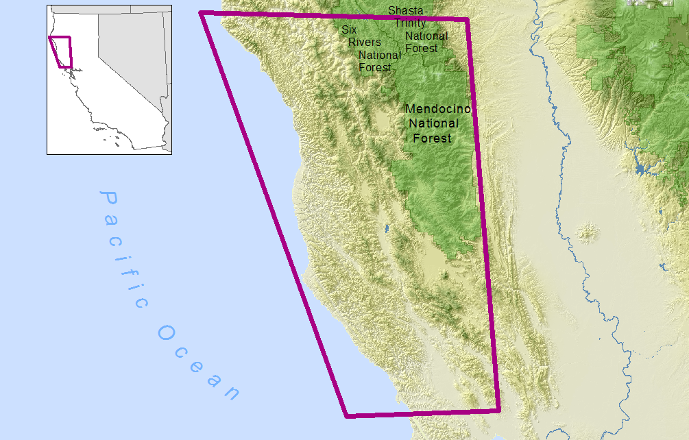
In the first half of the 20th Century, biologists from the Museum of Vertebrate Zoology at the University of California (MVZ) documented and systematically collected and surveyed terrestrial vertebrates throughout California. By mining the MVZ’s historic field notes for sites with detailed bird survey data, we created a 1,000 km transect of 70 sites running north to south through the California Coast Range from the Oregon border to northern San Luis Obispo County.
The resurveys were conducted in 2009 and 2010 at natural and semi-rural sites that experienced varying levels of both climate and land use change along coastal California. However, we avoided resurveying sites that experienced heavy land use change. Since the original surveys were made, the resurvey sites experienced an average increase in both mean annual temperature and annual precipitation.
Our study goals were to: (1) produce an unbiased, longitudinal dataset of bird occupancy through strategic resurveys of avian diversity at sites with variable climate-change histories sampled 70 to 99 years prior to our resurvey; (2) produce unbiased, spatially explicit occupancy estimates for 100 bird species using occupancy modeling to account for unequal detection probabilities of each species between sites, between the historic and modern eras, and between observers; and (3) rank the ability of various climate change metrics and land use factors to explain changes in California bird distribution patterns over the past century.
Resurvey work for the Coast Range was supported by a grant from the California Energy Commission’s Public Interest Energy Research (PIER).
